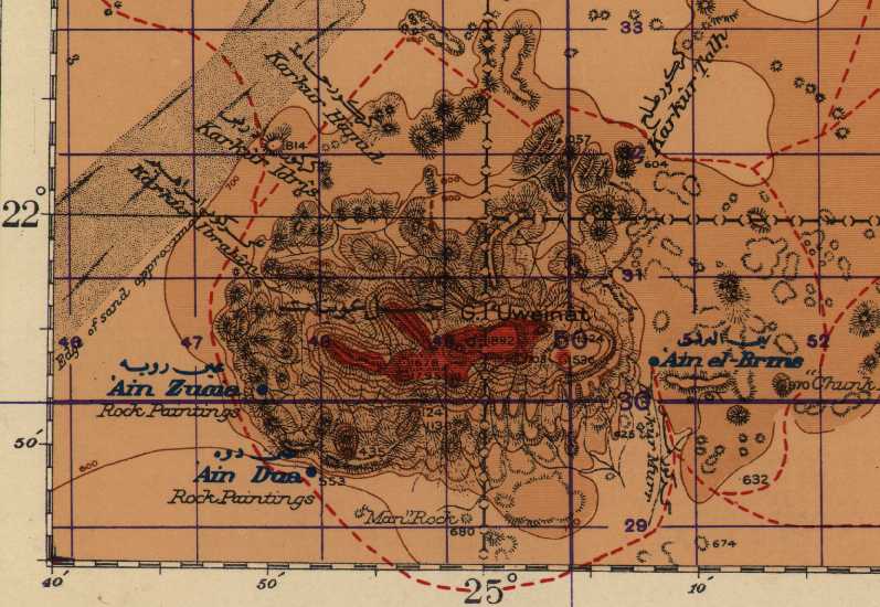
 Here is a map of Uweinat, located on the border of Libya and Sudan. North is at the top. The purple grid lines are 10 km. (6 miles) apart. The left half of the map is Libya; of the right half the upper (north) portion is in Egypt and the lower portion is in Sudan. The map is "published by the Survey of Egypt (1942)."
Ain Dua, a permanent source of good water, is visible at the lower left.
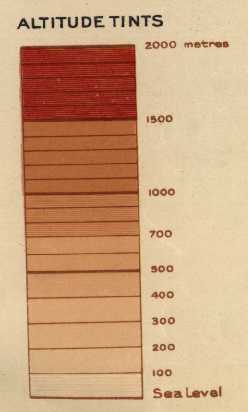
Click here if you would like to see the altitude color scale for this map.
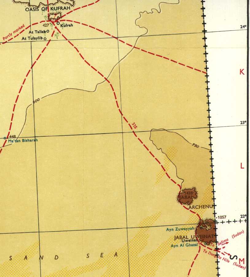
Click here to see a map showing the western portion of Uweinat and the Oasis of Kufrah (Kufra). Each grid square on this map is about 105 kilometers (63 miles) on a side. The map is titled "Shell Road Map of Libya," and it was published by Shell Oil Company before 1997.
Click here to see a page full of black and white photos taken during a 1930-1931 expedition to the Uweinat area.